slideshow 1 slideshow 2 slideshow 3

Cajete Fire Morning update for June 19, 2017 (Cajete Fire Wildfire)

Location: The Cajete Fire is burning in the Jemez Ranger District on the Santa Fe National Forest, on both sides of NM Highway 4 along the southern boundary of the Valles Caldera National Preserve. The fire started approximately one mile northeast of Vallecitos de los Indios (Sierra de los Pinos). The fire area runs along the East Fork of the Jemez River and is west of the 2011 Las Conchas Fire burn scar and southeast of the 2013 Thompson Ridge Fire burn scar.

Community Meeting Tonight (Cajete Fire Wildfire)

A community meeting will be held tonight at Jemez Mountain Baptist Church in La Cueva at 6pm. Live streaming of tonight's meeting

County Update On Cajete Fire Evacuated Animals

Los Alamos County just issued an update on evacuation efforts for animals displaced by the Cajete Fire burning in the Jemez.

Cajete Fire Photos by Dave Ponton

Cajete Fire Evening Update for June 18, 2017 (Cajete Fire Wildfire)

Cajete Fire Update June 18, 2017, 6:00 p.m. FIRE INFORMATION: 505.438.5300 Location: The Cajete Fire is burning in the Jemez Ranger District on the Santa Fe National Forest, on both sides of NM Highway 4 along the southern boundary of the Valles Caldera National Preserve. The fire started approximately one mile northeast of Vallecitos de los Indios (Sierra de los Pinos). The fire area runs along the East Fork of the Jemez River and is west of the 2011 Las Conchas Fire burn scar and southeast of the 2013 Thompson Ridge Fire burn scar.

More Abandoned Campfires on the Santa Fe National Forest (Cajete Fire Wildfire)

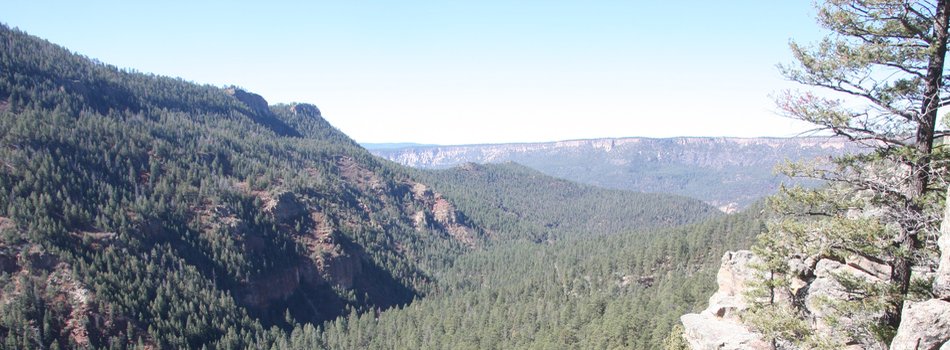
More Abandoned Campfires on the Santa Fe NFas the Campfire-Caused Cajete Fire Continues to Burn SANTA FE, NM – June 18, 2017 – For Immediate Release. As more than 300 people continued to battle the 1,367-acre Cajete Fire that sparked last Thursday from an abandoned campfire, the already-overloaded fire team on the Santa Fe National Forest was forced to respond to more abandoned campfires today. As of 2 p.m., at least three had been reported to the dispatch center.

Cajete Fire Morning Update June 18, 2017 (Cajete Fire Wildfire)

Location: The fire is burning in the Jemez Ranger District on the Santa Fe National Forest, on both sides of NMHighway 4 along the southern boundary of the Valles Caldera National Preserve. The Cajete Fire startedapproximately one mile northeast of Vallecitos de los Indios (Sierra de los Pinos).

The Cajete Fire Evening Update

Location: The Cajete Fire is burning in the Jemez Ranger District on the Santa Fe National Forest, on both sides of NM Highway 4 along the southern boundary of the Valles Caldera National Preserve. The fire started approximately one mile northeast of Vallecitos de los Indios (Sierra de los Pinos). The fire area runs along the East Fork of the Jemez River and is west of the 2011 Las Conchas Fire burn scar and southeast of the 2013 Thompson Ridge Fire burn scar.

Pages