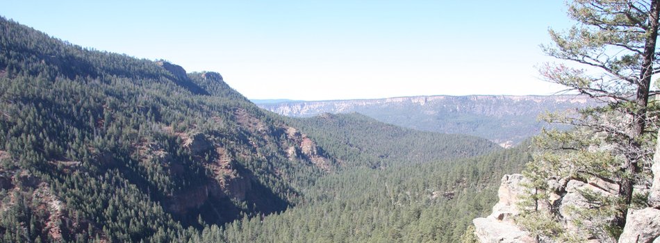
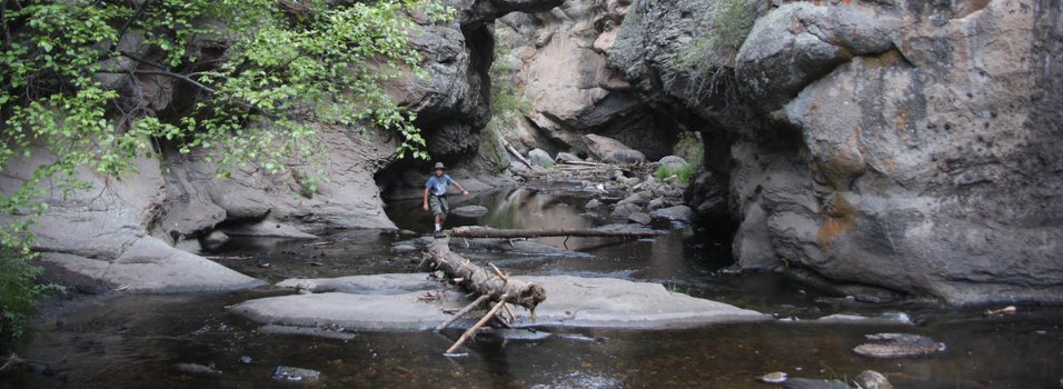
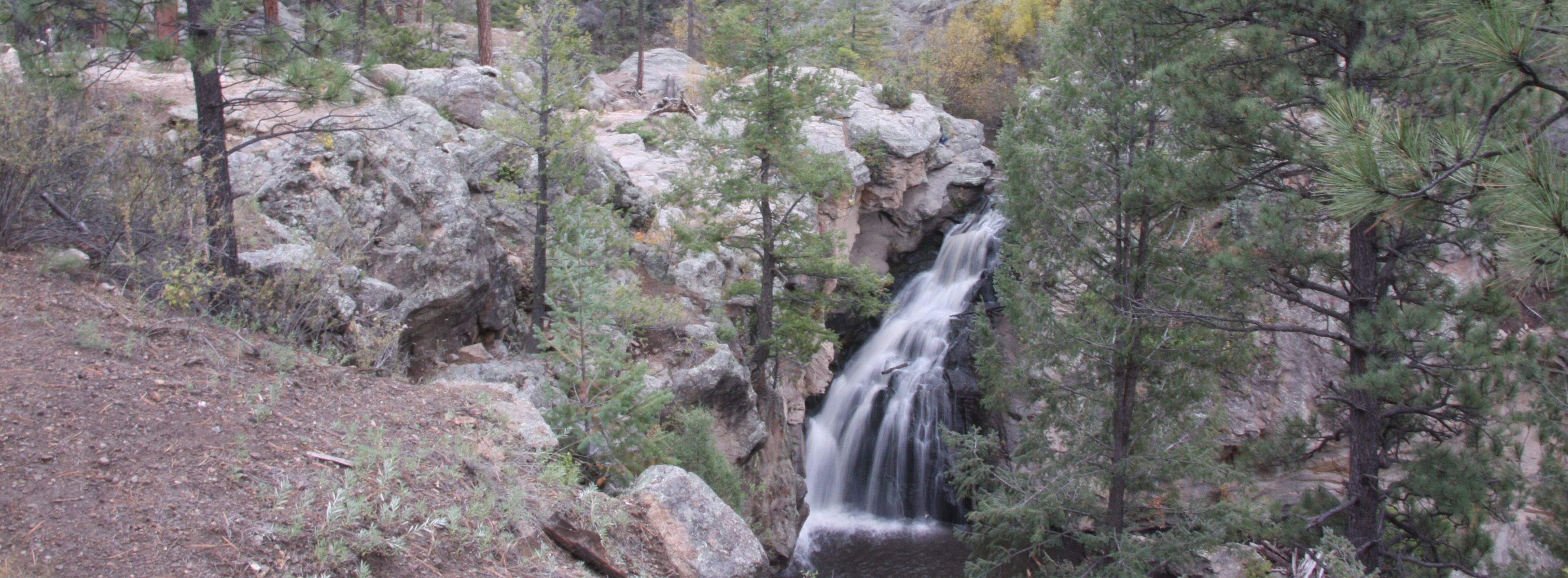
Although Santa Fe National Forest Opens Today, Most of Tres Lagunas Fire Area Remains Closed SANTA FE, NM—JULY 11, 2013 The Santa Fe National Forest will reopen portions of the forest beginning Friday, July 12th at 8:00 a.m. The Forest will lift the full closure and move into Stage I fire restrictions. However, some areas of the Forest will remain closed due to impacts by wildfires or potential for flooding. “Areas of the forest affected by the Tres Lagunas, Thompson Ridge, and Jaroso fires will remain closed for public safety,” announced Deputy Forest Supervisor Joe Norrell.