slideshow 1 slideshow 2 slideshow 3

Jaroso Fire Update - June 22, 2013 9:00 a.m. (Jaroso Fire Wildfire)

Fire Facts: Date Reported: 06/10/2013 Number of Personnel: 24 Location: Espanola Ranger District within the Pecos Wilderness, approx. 6 miles southeast of Borrego Equipment: No ground equipment at this time. Cause: Lightning Aircraft: 2 helicopters Size: 3,889 acres Injuries to Date: None Percent Contained: 0% General Information/Announcements: Command of the Jaroso Fire will be transferred back to the Santa Fe National Forest Today, June 22, 2013 at 6:00 p.m.

Thompson Ridge Fire Update 6.22.2013 (Thompson Ridge Fire Wildfire)

Thompson Ridge Fire News Release June 22, 2013 9:30 a.m. Fire Information: (541) 787-4342 8:00 am to 9:00 pm Acres: 23,919 Start date: May 31, 2013 Cause: Downed power line Location: Valles Caldera National Preserve, NM Containment: 90 percent Fuels: Mixed conifer and Ponderosa pine Terrain: Steep, rugged Resources: 3 crews, 6 engines, 4 water tenders, 2 dozers Total personnel: 174 Available air support: 3 helicopters Summary: A change of 16 acres can be noted in today’s update.

JAROSO FIRE UPDATE (Jaroso Fire Wildfire)

The Jaroso Fire continues to burn in the blow down area (within the perimeter) and smoke is visible

BAER Assessment Update - June 21, 2013 (Thompson Ridge Post-Fire Response Burned Area Emergency Response)

BAER Assessment Update – June 21, 2013 JEMEZ SPRINGS, NM (June 21, 2013) – The Thompson Ridge BAER assessment team held a public meeting at the Valles Caldera Science and Education Center, Thursday evening, June 20. BAER interagency cooperators, stakeholders, and tribal government representatives also attended the meeting. Contact information for the interagency cooperators involved in post-fire response for the Thompson Ridge Fire can also be found on InciWeb (http://inciweb.nwcg.gov/incident/3430/).

Initial Burn Severity Mapped for Thompson Ridge Fire (Thompson Ridge Post-Fire Response Burned Area Emergency Response)

Initial Burn Severity Mapped for Thompson Ridge Fire The BAER assessment team for the Thompson Ridge Fire released its initial Burn Severity map at a public meeting in Jemez Springs, Thursday evening, June 20. The map is posted on InciWeb under maps in JPG or PDF format for viewing and

BAER Assessment Team Presentation -- June 20, 2013 (Thompson Ridge Post-Fire Response Burned Area Emergency Response)

BAER Assessment Team Public Meeting Presentation – June 20, 2013 Attached as a PDF document to this article (see right side for BAER presentation in PDF format), is the BAER Assessment Team's presentation at the public meeting held in Jemez Springs, NM on June 20,

Thompson Ridge Fire Update 6.21.2013 (Thompson Ridge Fire Wildfire)

Thompson Ridge Fire News Release June 21, 2013 9:30 a.m. Fire Information: (541) 787-4342 8:00 am to 9:00 pm Acres: 23,903 Start date: May 31, 2013 Cause: Downed power line Location: Valles Caldera National Preserve, NM Containment: 90 percent Fuels: Mixed conifer and Ponderosa pine Terrain: Steep, rugged Resources: 3 crews, 6 engines, 4 water tenders, 2 dozers Total personnel: 174 Available air support: 3 helicopters Summary: Today marks an entire week with no new perimeter growth in the fire.

FINAL TRES LAGUNAS UPDATE Friday June 21, 2013 9:00 a.m. (Tres Lagunas Fire Wildfire)

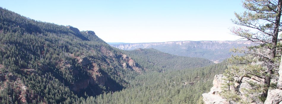
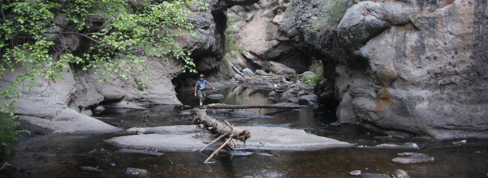
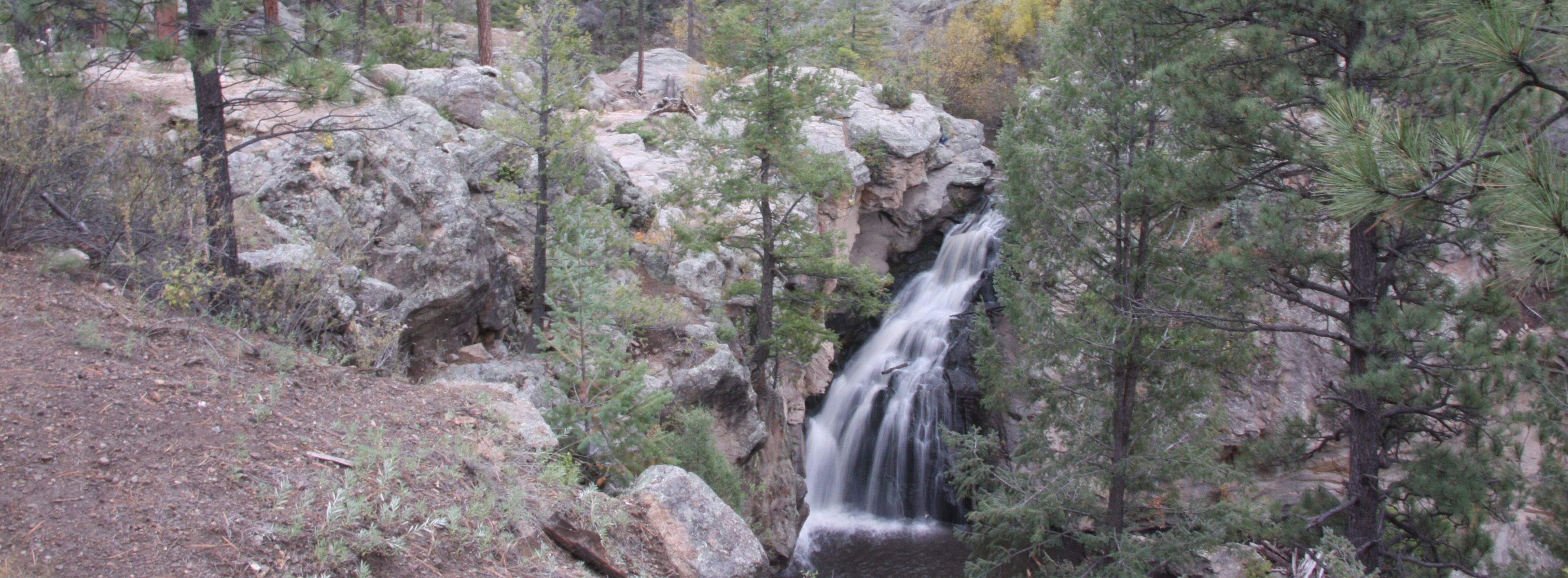
Start Date: 5/30/2013 Size: 10,219 acres Cause: Human Fuels: Timber Terrain: Steep/Rugged Containment: 90% Location:15 miles N. of Pecos,NM Resources Committed: 94 personnel; 3-Type II crews, 5-Type VI Engines, 1 Dozers, 2 water tenders. Summary: The containment remains at 90 percent. The resources remain on point to protect property. The crews continue to be vigilant about the steep terrain, rolling rocks, potential flash floods, and a drying trend this week. Mop up, backhauling of equipment, and fire line rehabilitation will continue today.

Jaroso Fire Update - June 21, 2013 9:00 a.m. (Jaroso Fire Wildfire)

Fire Facts: Date Reported: 06/10/2013 Number of Personnel: 25 Location: Espanola Ranger District within the Pecos Wilderness, approx. 6 miles southeast of Borrego Equipment: No ground equipment at this time. Cause: Lightning Aircraft: 2 helicopters Size: 3,883 acres Injuries to Date: None Percent Contained: 0% General Information/Announcements: A Community Meeting is scheduled today, June 21 at 6:00 pm the Ojo Sarco Volunteer Fire Department located on New Mexico State Road 76 North. The U.S.

TRES LAGUNAS UPDATE Thursday June 20, 2013 9:00 a.m. (Tres Lagunas Fire Wildfire)

Start Date: 5/30/13 Size: 10,219 acres Cause: Human Fuels: Timber Terrain: Steep/Rugged Containment: 90% Location:15 miles N. of Pecos,NM Resources Committed: 152 personnel; 2-Type II crews, 5-Type VI Engines, 1 Dozers, 2 water tenders. Summary: The containment remains at 90 percent. The resources remain on point to protect property. The crews continue to be vigilant about the steep terrain, rolling rocks, potential flash floods, and a drying trend this week. Mop up, backhauling of equipment, and fire line rehabilitation will continue today.

Pages