slideshow 1 slideshow 2 slideshow 3

TRES LAGUNAS FIRE UPDATE Monday, June 18, 2013 9 a.m. (Tres Lagunas Fire Wildfire)

Start Date: 5/30/13 Size: 10,219 acres Cause: Human Fuels: Timber Terrain: Steep/Rugged Containment: 90% Location:15 miles N. of Pecos,NM Resources Committed: 157 personnel Summary: The Northern New Mexico Type III Incident Management Team of firefighters and engines are remaining on scene to combat active flames that are within the center of the Tres Lagunas fire. Two divisions are confirming whether last night’s rain reached the heat zones and are otherwise extinguishing burning woody vegetation. The resources remain on point to protect property.

Thompson Ridge BAER Assessment Update - June 16, 2013 (Thompson Ridge Post-Fire Response Burned Area Emergency Response)

BAER Assessment Update – June 16, 2013 A Forest Service BAER assessment team has been assembled to begin their on-the-ground analysis for the recent Thompson Ridge wildfire that burned approximately 24,000 acres on the Valles Caldera National Preserve (www.vallescaldera.gov/).

Thompson Fire Update 6.18.13 (Thompson Ridge Fire Wildfire)

Thompson Ridge Fire News Release June 18, 2013 8:30 a.m. Fire Information: (541) 787-4342 8:00 a.m. to 9:00 p.m.

Public Meeting for Thompson Ridge BAER Briefing (Thompson Ridge Post-Fire Response Burned Area Emergency Response)

Public Meeting for Thompson Ridge BAER Assessment Briefing WHAT: A Burned Area Emergency Response (BAER) Assessment Team Public Meeting. WHERE: Valles Caldera National Preserve Science & Education Center 90 Villa Louis Martin Drive (http://goo.gl/maps/7Y9Jp) Jemez Springs, NM 87025 WHEN: Thursday, June 20, 2013 at 5:30 p.m. INFO: Cathleen Thompson, BAER Team (707) 853-4243 Terry McDermott, Valles Caldera Trust (505)

Preparing for Rain Storms (Thompson Ridge Post-Fire Response Burned Area Emergency Response)

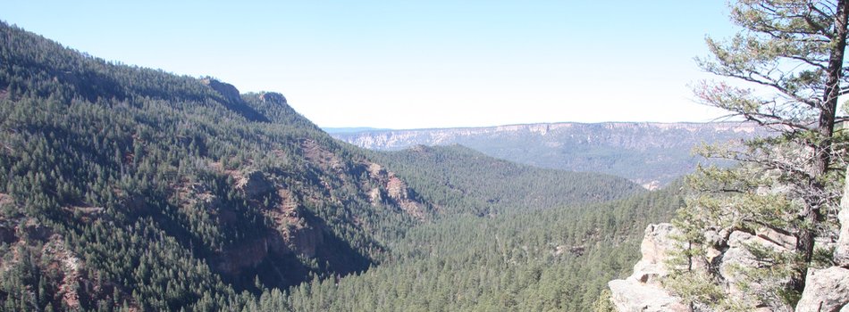
Preparing for Rain Storms JEMEZ SPRINGS, NM (June 17, 2013) – The recent Thompson Ridge Fire that burned on the Valles Caldera National Preserve, Forest Service, and private lands, changed the watersheds within the burned area. The wildfire increased the potential for flash flooding and mudflows that could impact several communities, homes, roads, and other infrastructures adjacent to and downstream from the burned area. Although flooding can be a frequent occurrence after a wildfire, the extent of the effects of the Thompson Ridge Fire on the watersheds need to be determined and analyzed.

News Update 6/17 AM (Thompson Ridge Fire Wildfire)

Acres: 23,903 Start date: May 31, 2013 Cause: Downed powerline Location: Valles Caldera National Preserve, NM Containment: 80 percent Fuels: Mixed conifer and Ponderosa pine Terrain: Steep, rugged Resources: 7 crews, 12 engines, 12 water tenders, 2 dozers Total personnel: 526 Available air support: 3 helicopters Summary: For the third consecutive day fire activity was restricted to unburned fuels within the interior where a total of four acres have burned since Friday. Minimal fire activity is expected today as crews continue rehab, mop up and patrol of the perimeter.

Jaroso Fire Update - June 17, 2013 9:00 a.m. (Jaroso Fire Wildfire)

Fire Facts: Date Reported: 06/10/2013 Location: Espanola Ranger District within the Pecos Number of Personnel: 67 members of the team that are developing the long term suppression strategy. Wilderness, approx. 6 miles southeast of Borrego Equipment: No ground equipment at this time. Cause: Lightning Aircraft: 2 helicopters Size: 3,546 acres Injuries to Date: None Percent Contained: 0% General Information/Announcements: The Atlanta National Incident Management Organization (NIMO) has assumed command of the Jaroso Fire this morning as of 6:00 am.

TRES LAGUNAS UPDATE Monday, June 17, 2013 9 a.m. (Tres Lagunas Fire Wildfire)

Start Date: 5/30/13 Size: 10,219 acres Cause: Human Fuels: Timber Terrain:Steep/Rugged Containment: 90% Location:15 miles N. of Pecos,NM Resources Committed: 233 personnel Summary: Firefighters and engines are remaining on scene today as active flames were detected yesterday in the center of the Tres Lagunas fire perimeter and additional smoldering and creeping fire was seen below Mount Barker. The containment remains at 90 percent. Resources are on point, continuing to protect property. Three divisions are extinguishing and removing burning materials and reinforcing the containment lines.

BAER Specialists Complete Field Work, Begin Modeling & Analysis (Tres Lagunas Post-Fire Response Burned Area Emergency Response)

Tres Lagunas BAER Update, 6-16-13 Forest Service Burned Area Emergency Response (BAER) team specialists will spend their last day in the in the burn area assessing fire effects and potential for further damage in the event of heavy rains. A team of silviculturalists and soil scientists will be assessing Soldier Canyon today. The BAER hydrologists, archaeologists, and biologists have finished gathering data from the field and are in the process of modeling and analysis for their data and findings.

TRES LAGUNAS FIRE UPATE Sunday. June 16, 2013 9 a.m. (Tres Lagunas Fire Wildfire)

Start Date: 5/30/13 Size: 10,219 acres Cause: Human Fuels: Timber Terrain: Steep/Rugged Containment: 90% Location:10 miles N. of Pecos,NM Resources Committed: 309 personnel Today’s Weather: Wind gusts up to 20 mph returning on Sunday with a 20% chance of isolated showers. Tuesday through Friday is forecast to be very dry. NOTE: Everyone near and downstream from the fire area should remain alert and stay updated on weather conditions that may result in heavy rains over the burn scar. Flash flooding may occur quickly during heavy rain events.

Pages